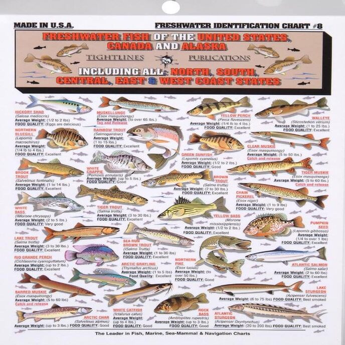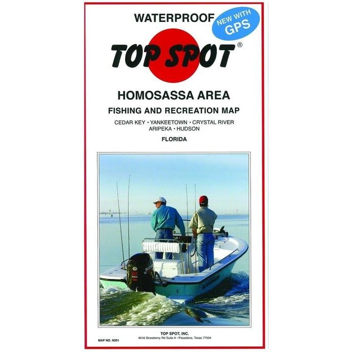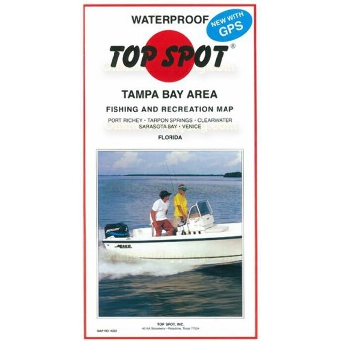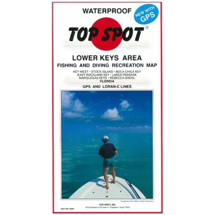
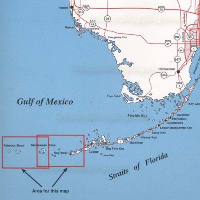
Šī karte ir lieliski piemērota tipiskam āra cienītājam. Kīvestas populārāko vietu karte līdz Rebekas šolai.
EAN: 0737703002092
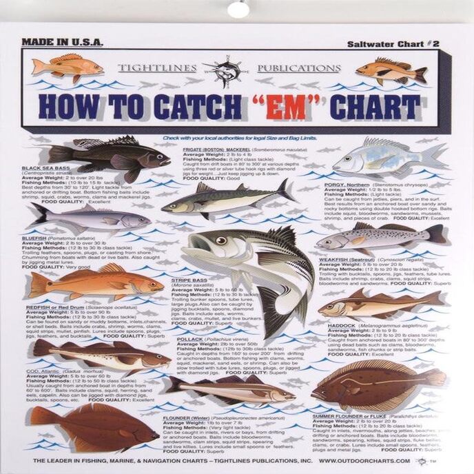
Kategorijas Sports un āra preces, Medības un makšķerēšana, Zveja, Charts & kartes,
| Brand Name | Topspot |
| Customer Reviews | 4.8 4.8 out of 5 stars 45 ratings 4.8 out of 5 stars |
| Included Components | Fishing and recreation map |
| Item Dimensions LxWxH | 13 x 7 x 0.13 inches |
| Item Package Dimensions L x W x H | 12.8 x 7 x 0.6 inches |
| Item Weight | 0.25 Pounds |
| Manufacturer | Top Spot |
| Number of Items | 1 |
| Package Weight | 0.25 Pounds |
| Part Number | N209 |